প্রিয় ,
সেদিন আপনার কার্টে কিছু বই রেখে কোথায় যেন চলে গিয়েছিলেন।
মিলিয়ে দেখুন তো বইগুলো ঠিক আছে কিনা?

1st edition, 2013
বইটি বিদেশি প্রকাশনী বা সাপ্লাইয়ারের নিকট থেকে সংগ্রহ করে আনতে আমাদের ৩০ থেকে ৪০ কর্মদিবস সময় লেগে যেতে পারে।
আজ ৩-৫টার মধ্যে অ্যাপ অর্ডারে নিশ্চিত ১টি বই ফ্রি!

বই হাতে পেয়ে মূল্য পরিশোধের সুযোগ
৭ দিনের মধ্যে পরিবর্তনের সুযোগ
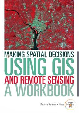
| Title | Making Spatial Decisions Using GIS and Remote Sensing: A Workbook |
| Author | Kathryn Keranen , Robert Kolvoord |
| Publisher | Esri Press (India) |
| ISBN | 9781589483361 |
| Edition | 1st edition, 2013 |
| Number of Pages | 300 |
| Country | India |
| Language | English |
Have a question regarding the product? Ask Us
Please login to write question Login

Cash on delivery
Pay cash at your doorstep
Delivery
All over Bangladesh

Happy return
7 days return facility
0 Item(s)
Subtotal:
Are you sure to remove this from book shelf?
demo content