Hello, Sign in
 Cart
Cart 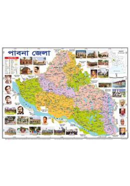


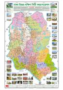

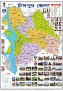

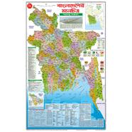
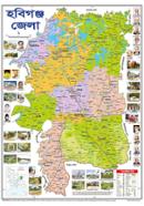

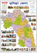
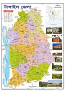
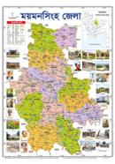
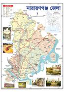
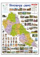
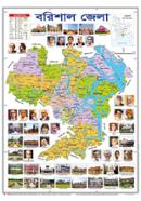
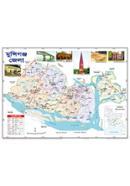
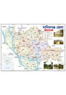
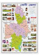
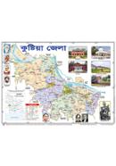
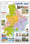
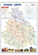
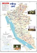
The Sariyagraph Pabna District Map (18.5 X 25 Inches) displays 9 Upazila boundaries and major road networks. With Bangla text on superfine paper, this map locates specific geographical landmarks for administrative use. Dimensions measuring 47x63.5 cm fit standard office or classroom wall spaces.
Key Features
- Superfine Paper Stock: High-grade material resists tearing during wall mounting. Handles repeated contact without immediate surface degradation.
- Administrative Data: Includes upazila boundaries and primary road networks. Simplifies logistics planning across specific district zones.
- Local Language Text: Bangla labels all geographical markers. Improves accuracy for local administrative and educational tasks.
- Wall-Mountable Format: 47x63.5 cm dimensions for vertical display. Resists curling when fixed to flat surfaces despite high humidity.
Frequently Asked Questions
What is the size of Pabna district map?
The map measures 18.5 x 25 inches, which equals 47 x 63.5 cm. This surface area displays the entire district including all 9 upazilas.
Does the map show specific roads?
The layout includes primary roads and major landmarks across the district. These markers assist with logistics and navigation.